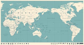
Europe - Map And Navigation Labels - Illustration. Europe Map - Highly Detailed Vector Illustration. Image Contains Land Contours, Country And Land Names, City Names, Water Object Names, Navigation Icons.
ID 63061803 © Dikobrazik | Megapixl.com
Sharing is not just caring, it's also about giving credit - add this image to your page and give credit to the talented photographer who captured it.:
KEYWORDS
austria belgium blue business capital car cities city community computer denmark detailed equipment europe european flag france geographical germany government greece green hotel hungary icon icons illustration interface ireland italy label land locations map navigational painting plane pointer pointing poland politics portugal regions republic sign spain sweden symbol ukraine vector


