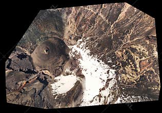
Orthorectified Aerial Image Used In Civil Engineering
ID 069424932935 © Ammit | Megapixl.com
CATEGORIES
Sharing is not just caring, it's also about giving credit - add this image to your page and give credit to the talented photographer who captured it.:
KEYWORDS
aerial angles architect area azimuth banos building business checking civil construction contractor development distance drone ecuador engeneering engineer geodesy georeferenced ground gsd industry inspection investigation land large map modern mosaic multirotor nadir orthorectification orthorectified photogrammetry professional quadcopter site space supervising survey surveying technology tool top tungurahua unrecognizable


