Two-toned map of the island of Salsette, Mumbai, India
Salsette Island. India. Physical
Salsette Island. India. Topo standard
Salsette Island, India, cropped to square. Topo standard
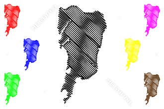
Shape of Salsette Island. India. Yellow
Salsette Island. India. Shape on white. Bilevel
Salsette Island. India. Location diagram. Yellow
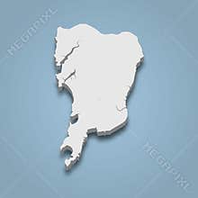
Salsette Island. India. Shape on white. Physical
Salsette Island, India, cropped to square. Bilevel
Salsette Island, India, cropped to square. Physical
Salsette Island. India. Shape on white. Topo standard
Salsette Island, India, highlighted and labelled. Bilevel
Salsette Island, India, highlighted and labelled. Physical
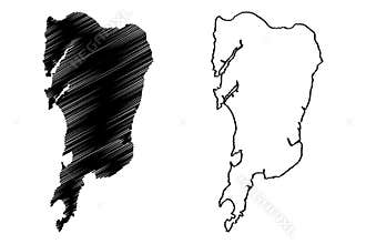
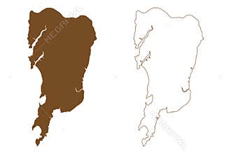
Salsette Island. India. Bilevel
Salsette Island, India, cropped to square. Topo Humanitarian
Salsette Island, India, highlighted and labelled. Topo standard
Salsette Island, India, highlighted and labelled. Topo Humanitarian
Salsette Island. India. Topo Humanitarian
Salsette Island. India. Shape on white. Satellite, October 31, 2022
Salsette Island. India. Satellite, April 4, 2023
Salsette Island, India, cropped to square. Satellite, April 4, 2023
Salsette Island. India. Shape on white. Satellite, April 4, 2023
Salsette Island, India, cropped to square. Satellite, October 31, 2022
Salsette Island, India, highlighted and labelled. Satellite, October 31, 2022
Salsette Island. India. Satellite, October 31, 2022