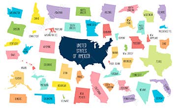
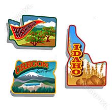
Washington State Road Map With Interstates And U.s. Highways. All Elements On 5 Separate Layers (State Fill, State Outline, Water, Roads, Cities) For Easy Editing. Map Created November 26, 2008. Zip File Contains Eps-8 Adobe Illustrator File, Illustrator Cs3 File, And Large Jpg File, 3508X5133. Source: Public Domain National Planning Network ( And United S
ID 06444041835 © Suwanneeredhead | Megapixl.com
CATEGORIES
Your image is downloading.
Sharing is not just caring, it's also about giving credit - add this image to your page and give credit to the talented photographer who captured it.:


