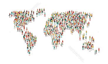
World Population Density Map. World Map With Population Density Number (Inhabitants/Square Kilometers). The Maps Are In Ial Format (Eps), And Contains Almost 250 Countries And Territories (Including Kosovo, Abkhazia And Others With Little International Recognition). The Maps Have Legend About The Colour Representation. Maps Are Made In Robinson World Projection, With Central Meridian At E11. Population Datas Are From 2008 (Official And Un Estimation).
ID 86489475815 © Emicristea | Megapixl.com
Your image is downloading.
Sharing is not just caring, it's also about giving credit - add this image to your page and give credit to the talented photographer who captured it.:


